DEM-based Catchment Analysis for Hydropower Planning
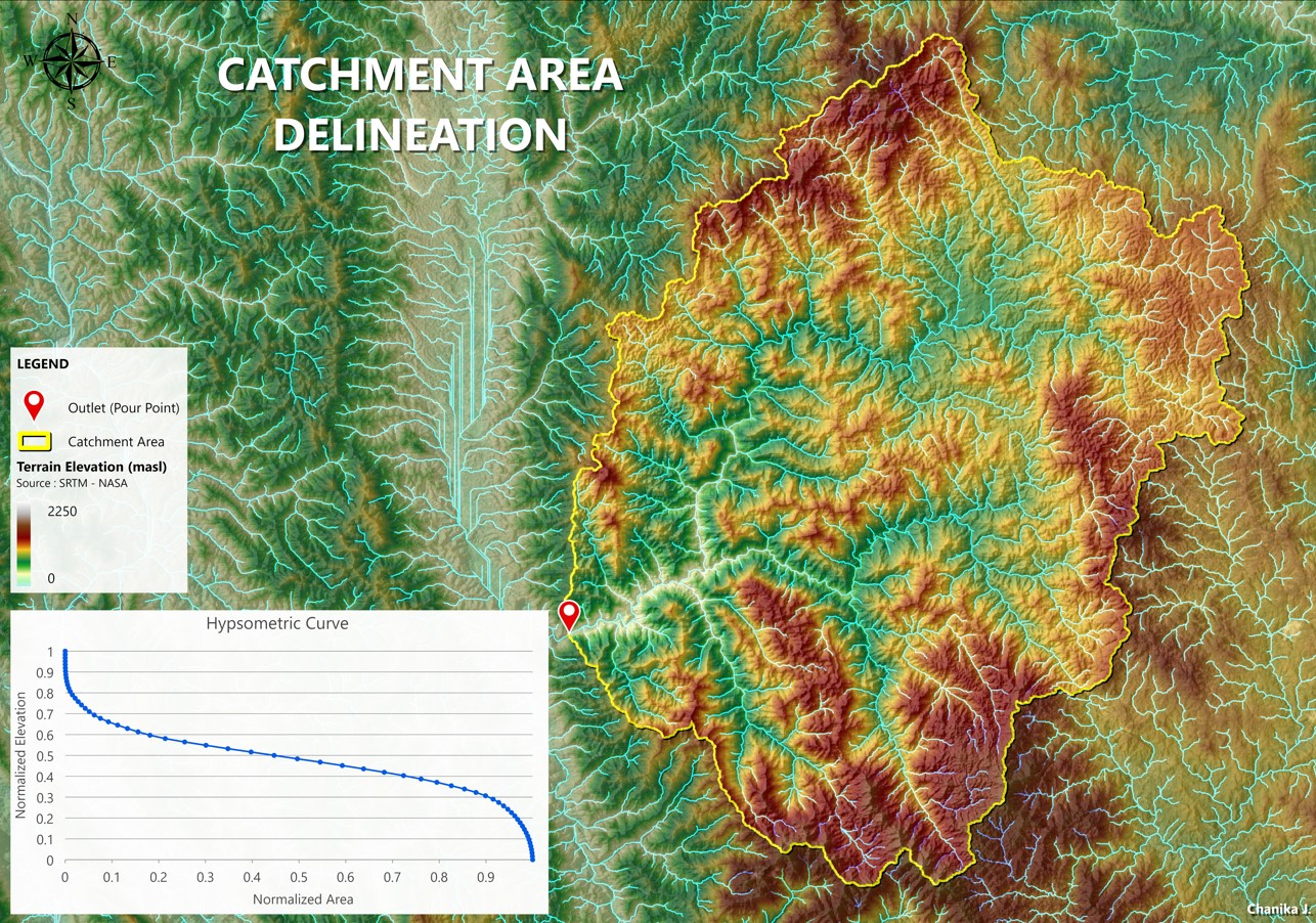
This project demonstrates the application of GIS-based hydrological analysis to delineate a catchment area contributing runoff to a defined outlet. Using Digital Elevation Model (DEM) data, the workflow supports early-stage hydropower and water resources assessment by identifying drainage boundaries, flow paths, and terrain characteristics that influence inflow behavior.
Key tasks included:
- Pre-processing DEM data and generating flow direction and flow accumulation
- Delineating catchment boundaries and extracting river/ stream networks
- Analyzing elevation–area relationships using a hypsometric curve
- Interpreting spatial results to support conceptual design and pre-feasibility studies
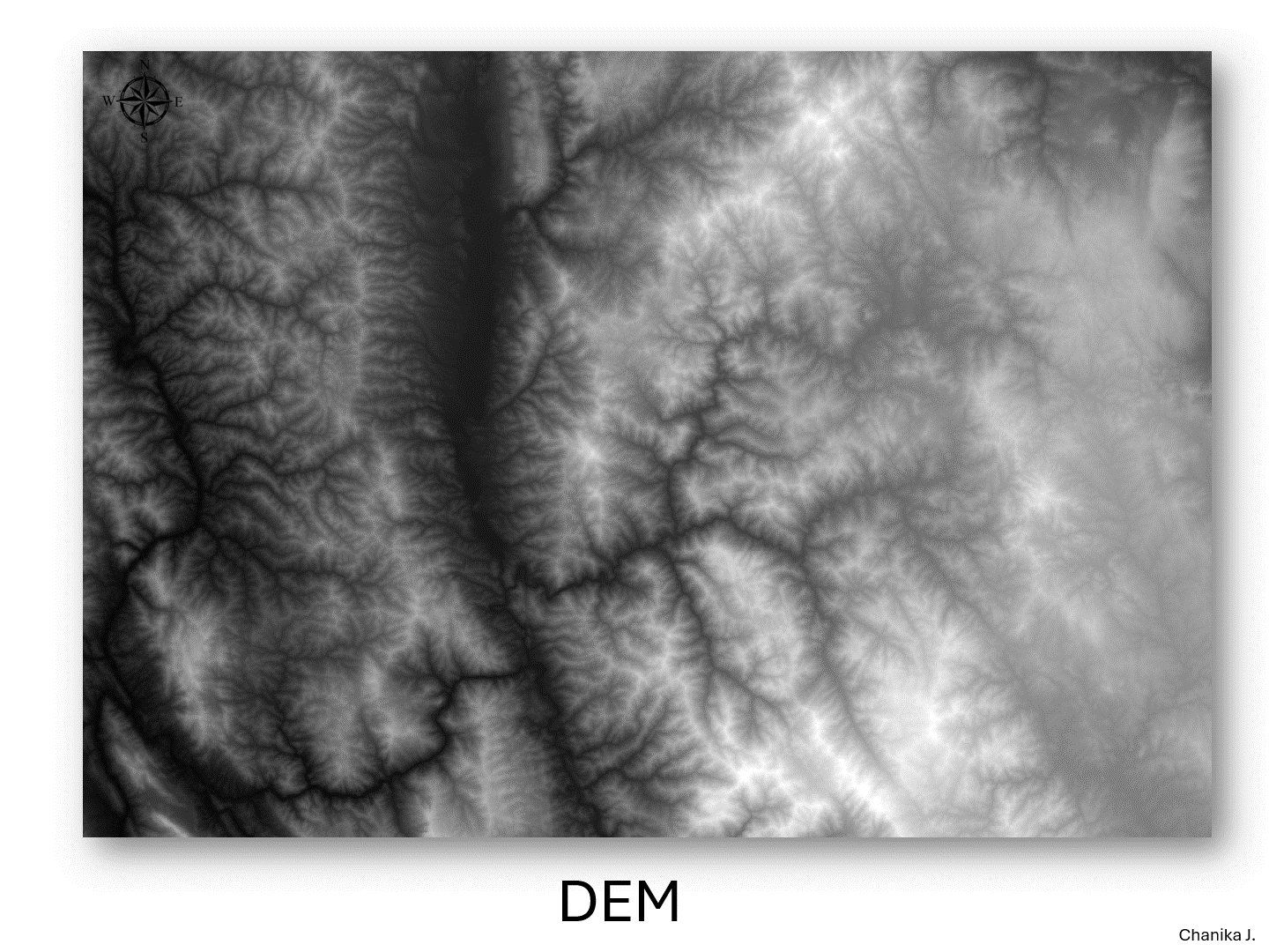
This analysis was performed using DEM data derived from SRTM (Shuttle Radar Topography Mission), © NASA / USGS.