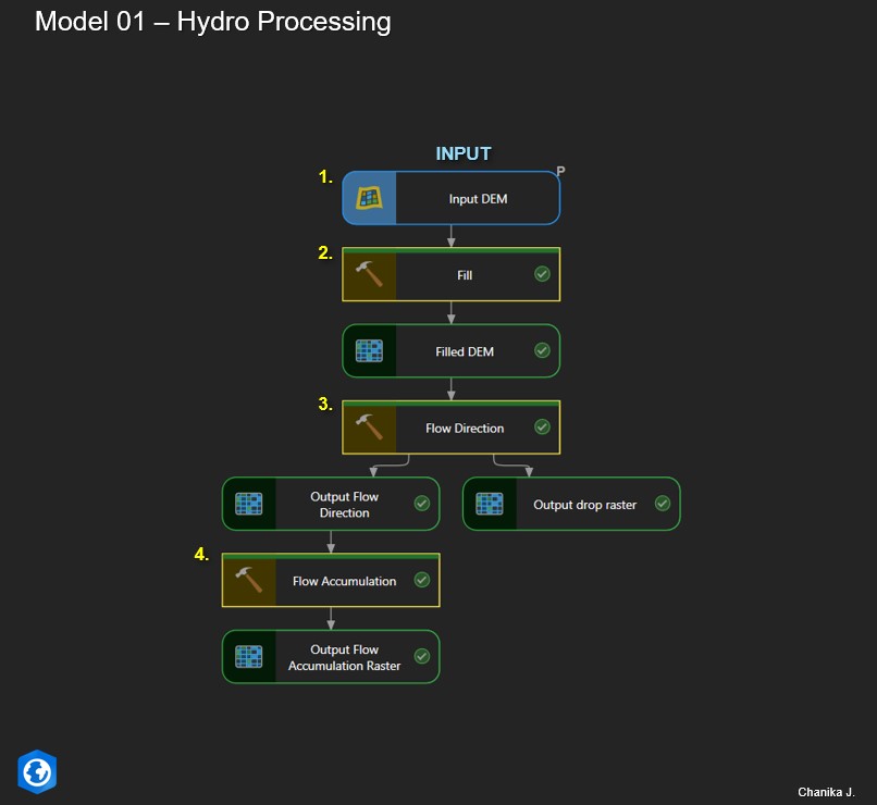
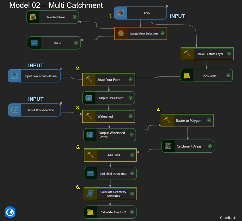
This project demonstrates an automated hydrological workflow for multi-catchment delineation using ArcGIS Pro ModelBuilder. The system processes DEM data to derive flow direction and flow accumulation rasters, automatically snaps outlet points to the drainage network, and delineates watershed boundaries. The resulting catchments are converted to polygons with calculated area attributes, enabling efficient watershed analysis for hydropower and water resource studies.
Workflow Overview
- Hydrological preprocessing from DEM (Fill, Flow Direction, Flow Accumulation)
- Snap pour points to the highest flow accumulation cells
- Delineate watersheds for each input outlet
- Convert watershed raster outputs to polygon catchment areas
- Automatically calculate catchment area attributes (km²)
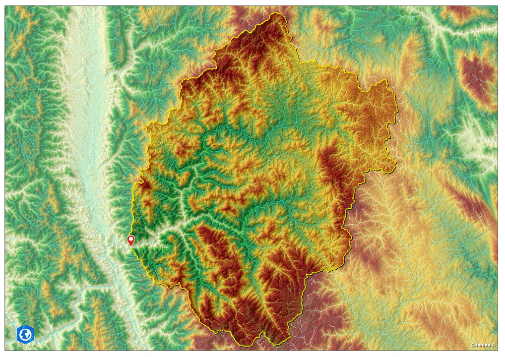
This analysis was performed using DEM data derived from SRTM (Shuttle Radar Topography Mission), © NASA / USGS.