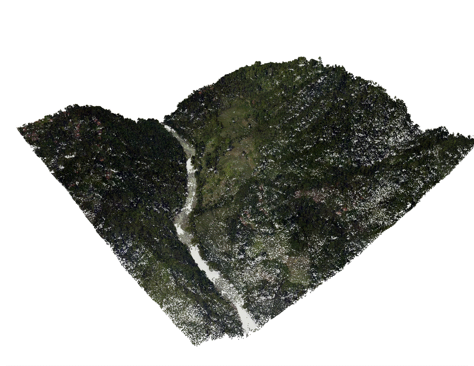
LiDAR Point Cloud Processing – DTM & DSM
This project showcases the processing of LiDAR point cloud data to generate Digital Terrain Models (DTM) and Digital Surface Models (DSM). LiDAR offers high-resolution elevation information by capturing millions of laser return points, allowing for precise differentiation between the bare earth and surface features such as vegetation, buildings, and infrastructure.
Workflow :
- Point cloud classification (ground, vegetation, buildings).
- Interpolation of ground-class points to create a DTM.
- Interpolation of first-return or highest points to create a DSM.
- Raster generation, visualization, and comparison of DTM vs DSM.
- Visualization-Colorized elevation rasters, hillshade, 3D point cloud rendering.