LEGO-style Topographic Map
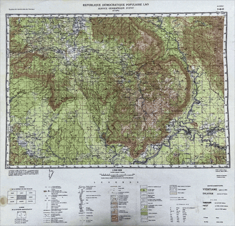
This project showcases the transformation of modern digital elevation data into a stylized **2D vintage terrain map**, inspired by hand-drawn cartography and aesthetic map design.Created entirely using **ArcGIS Pro**, the result captures the nostalgic feel of antique topographic maps while using modern geospatial data.
📌 Overview :
- GIS Software: ArcGIS Pro
- 🗺️ Type: 2D Vintage-Style Terrain Map
- Data Source: Digital Elevation Model (DEM) - ALOS-PALSA from NASA