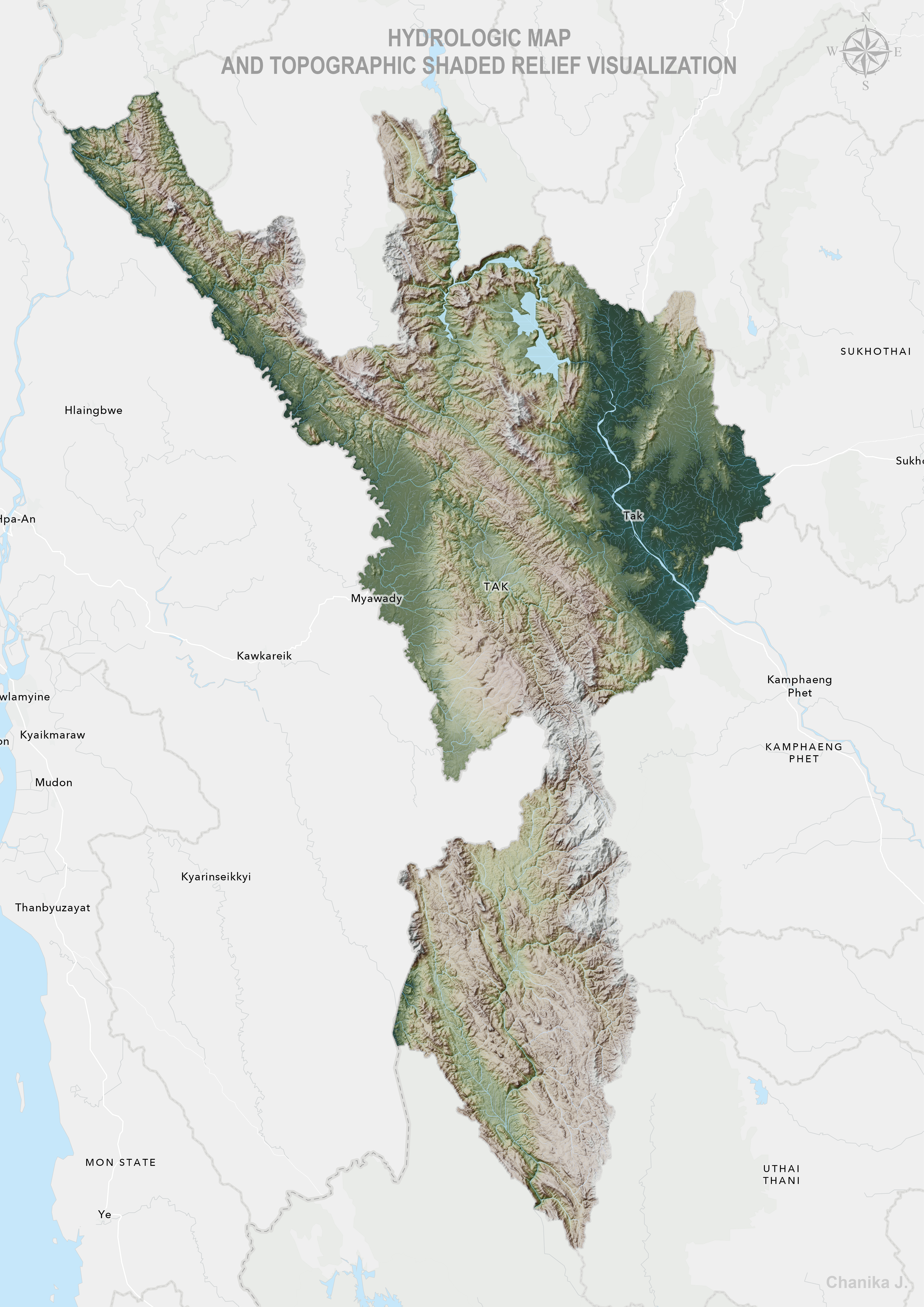
Hydrological Visualization with Shaded Relief
This map showcases hydrological features such as rivers, watersheds, and elevation patterns using Topographic Shaded Relief Visualization. This technique enhances terrain representation by simulating light and shadow effects, making landforms and water flow more visually intuitive.
Tools & Techniques Used:
- GIS Software: ArcGIS Pro
- Shaded Relief Method: Hillshade & Multi-directional Relief
- Hydrologic Analysis: Watershed delineation, river network extraction
- Learning & Acknowledgment: First attempt applying shaded relief techniques, inspired by John Nelson’s tutorials