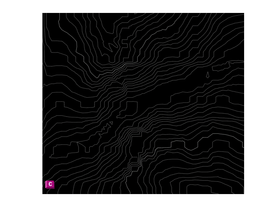
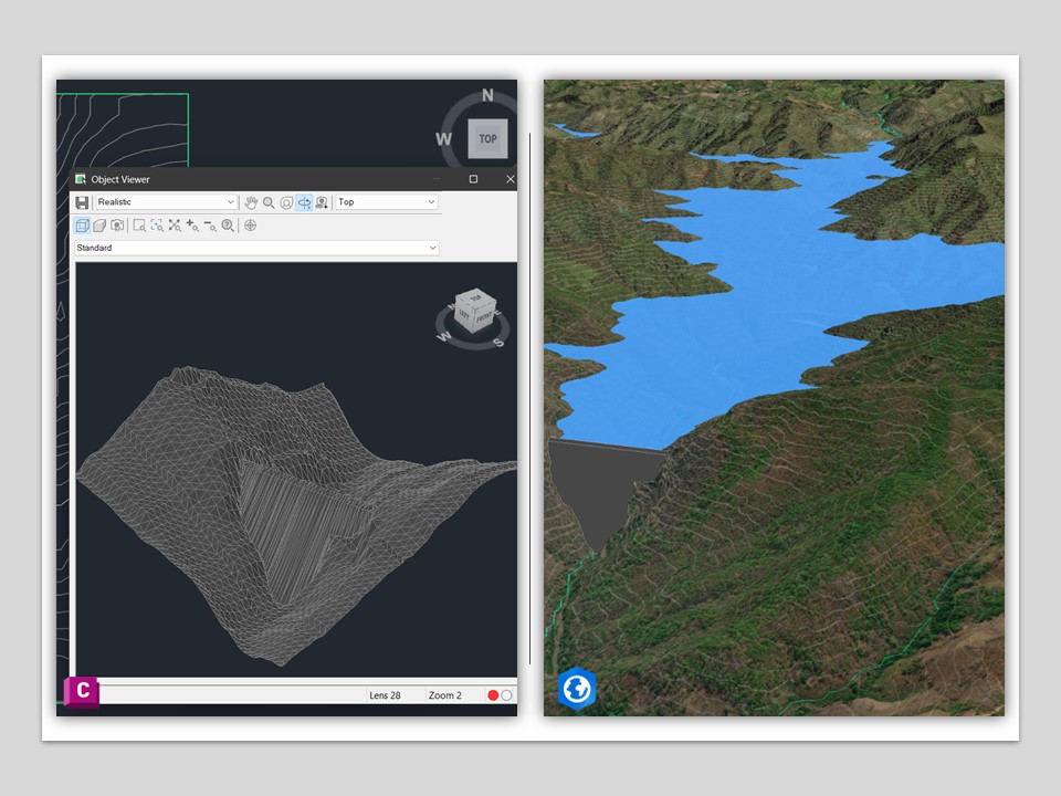
This project demonstrates the integration of CAD and GIS workflows for terrain modeling and infrastructure visualization. Contour data and topographic information are processed in AutoCAD Civil 3D to generate a triangulated surface model (TIN). The terrain model is then integrated with geospatial data to visualize infrastructure and reservoir environments within a GIS-based context.
Workflow Overview
- Import elevation data (DEM) into Civil 3D
- Create a terrain surface using a triangulated irregular network (TIN)
- Model the dam structure and refine the terrain surface in Civil 3D
- Integrate terrain and infrastructure data with geospatial visualization
- Generate 3D terrain and reservoir visualizations for engineering analysis
This analysis was performed using DEM data derived from SRTM (Shuttle Radar Topography Mission), © NASA / USGS.